Scan barcode
233 pages • missing pub info (editions)
ISBN/UID: 9781349312078
Format: Paperback
Language: English
Publisher: Palgrave MacMillan
Publication date: 04 August 2010

Description
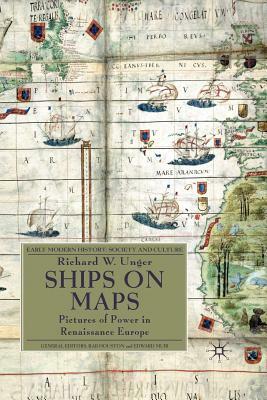
Renaissance map-makers produced ever more accurate descriptions of geography, which were also beautiful works of art. They filled the oceans Europeans were exploring with ships and to describe the real ships which were the newest and best products...
Community Reviews
Content Warnings
233 pages • missing pub info (editions)
ISBN/UID: 9781349312078
Format: Paperback
Language: English
Publisher: Palgrave MacMillan
Publication date: 04 August 2010
Description
Renaissance map-makers produced ever more accurate descriptions of geography, which were also beautiful works of art. They filled the oceans Europeans were exploring with ships and to describe the real ships which were the newest and best products...
Community Reviews
Content Warnings