Scan barcode

240 pages • first pub 2003 (editions)
ISBN/UID: 9780801872358
Format: Hardcover
Language: English
Publisher: Johns Hopkins University Press
Publication date: 25 April 2003

Description
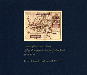
Maryland presents cartographers with a formidable test of their skills: unusual natural boundaries, border disputes, and in 1790 the gift of sixty-seven square miles for the creation of the District of Columbia have given the state a distinctively...
Community Reviews

Content Warnings


240 pages • first pub 2003 (editions)
ISBN/UID: 9780801872358
Format: Hardcover
Language: English
Publisher: Johns Hopkins University Press
Publication date: 25 April 2003

Description
Maryland presents cartographers with a formidable test of their skills: unusual natural boundaries, border disputes, and in 1790 the gift of sixty-seven square miles for the creation of the District of Columbia have given the state a distinctively...
Community Reviews

Content Warnings
