Scan barcode

156 pages • missing pub info (editions)
ISBN/UID: 9780865262324
Format: Paperback
Language: English
Publisher: North Carolina Division of Archives & History
Publication date: 01 January 1988

Description
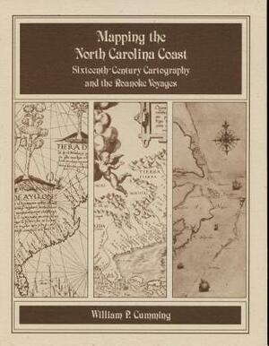
Historical survey that examines the cartography known or available to the English colonists of 1584-1587 as well as that which they produced during their explorations. Includes twenty-eight map plates printed on high quality coated paper, the auth...
Community Reviews

Content Warnings


156 pages • missing pub info (editions)
ISBN/UID: 9780865262324
Format: Paperback
Language: English
Publisher: North Carolina Division of Archives & History
Publication date: 01 January 1988

Description
Historical survey that examines the cartography known or available to the English colonists of 1584-1587 as well as that which they produced during their explorations. Includes twenty-eight map plates printed on high quality coated paper, the auth...
Community Reviews

Content Warnings
